Contact Info
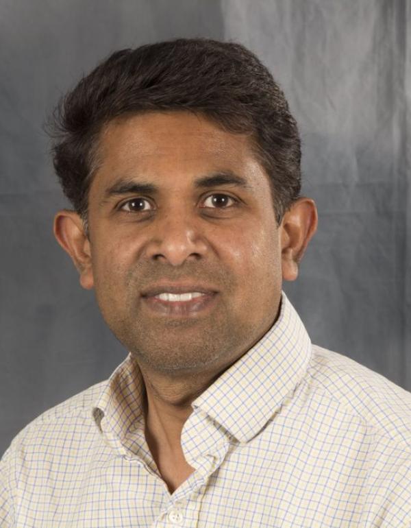
Chandana Gangodagamage
Visiting Assistant Research Scientist
Education
Bachelor of Engineering, University of Peradeniya, Peradeniya, Sri Lanka.
Center for Space Science and Technology Education Asia and Pacific, Indian Institute of Remote Sensing (IIRS), Dehradun, India.
Postgraduate Dip. (Remote sensing and GIS for hydrological modeling)
M Sc. in Civil Engineering, Department of Civil Engineering, University of Minnesota, USA.
PhD in Civil Engineering, Department of Civil Engineering, University of Minnesota, USA.
Research Interests: Hydrologic/land surface modeling, processing SAR interferometry for DEM generation, Machine learning in Flood mapping using satellite data, Mapping inundation using Sentinel -1/visible satellite data, and surface modeling/characterization using high-resolution LiDAR (< 1 m) and multispectral data (WorldView2), moderate-resolution data (Landsat, ASTER), and coarse-resolution data (e.g., MODIS); data fusion for hydrologic applications at river basin scale to continental scale; hydrological drought monitoring/forecasting; quantifying Earth surface processes/forms and algorithm development for remote sensing/ image processing.
